 Narrowsburg
Light Rain Fog/Mist, 43°
Wind: 8.1 mph
 Narrowsburg
REGION — Flood risk throughout the U.S. might be substantially higher than estimated by the federal government, based on new data published by a nonprofit research group. Its report, …
Stay informed about your community and support local independent journalism.
Subscribe to The River Reporter today. click here
This item is available in full to subscribers.
Please log in to continue |
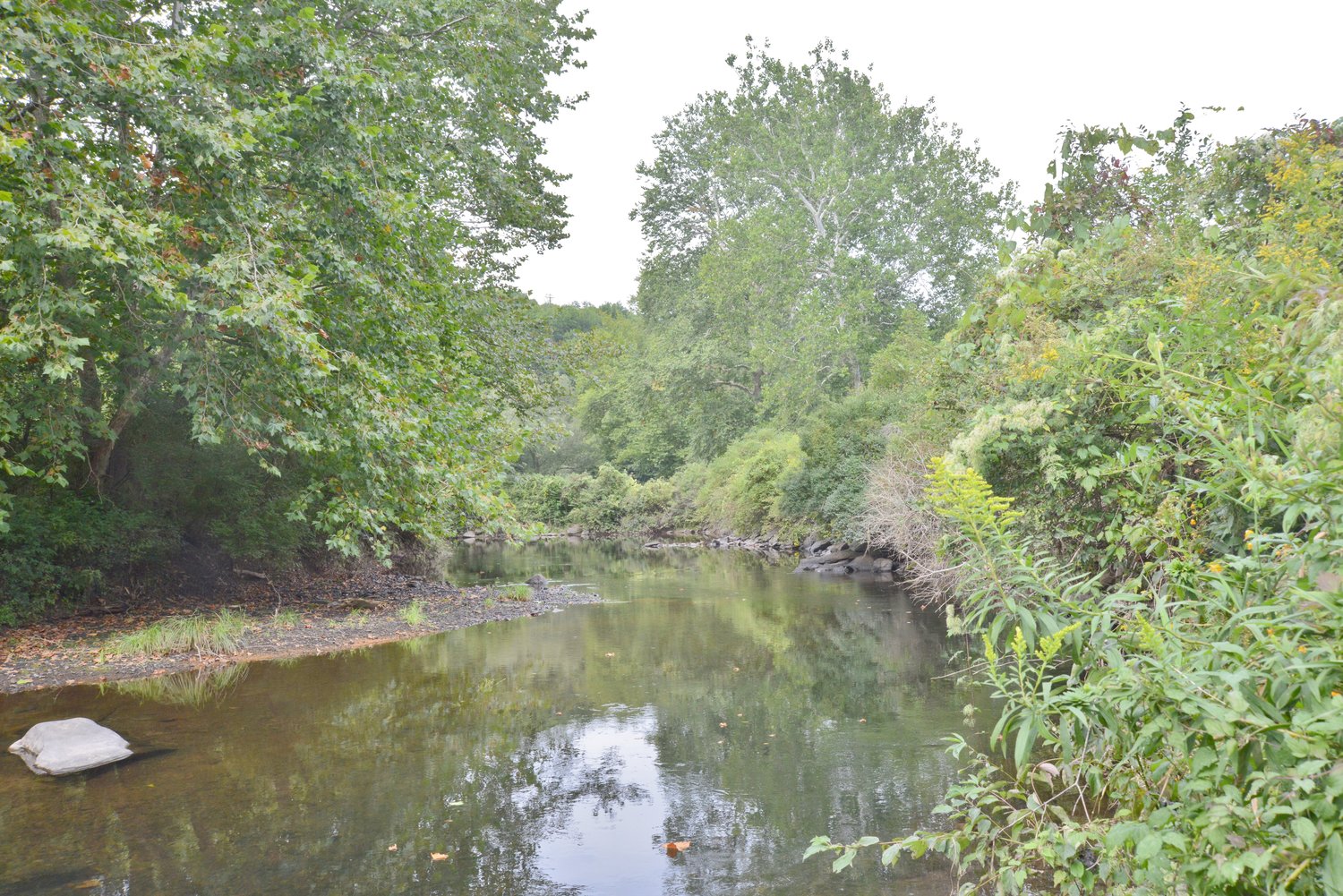
REGION — Flood risk throughout the U.S. might be substantially higher than estimated by the federal government, based on new data published by a nonprofit research group. Its report, published in June of this year, identifies several communities in the Upper Delaware Region and Northeast PA as having elevated risk.
For years, the conventional tool for homeowners, insurers, bankers and others when evaluating an area’s susceptibility to flooding has been the Federal Emergency Management Agency’s (FEMA) flood maps. “FEMA works with communities and property owners at all steps of the process to incorporate the best available data into the nation’s flood maps,” FEMA published online. But according to the First Street Foundation—a group of academics and experts who have developed their own model of evaluating flood risk—FEMA’s methodology leaves out factors like sea-level rise, increased rainfall and smaller creeks.
Based on the foundation’s calculations, about 14.6 million properties in the contiguous United States are at risk from “100-year floods”—referring to floods that have a one-percent chance of occurring year to year. Comparatively, FEMA’s flood maps show that just 8.7 million properties assume this risk.
The foundation’s report also says that New York State and Pennsylvania’s flood risks are increasing. In NYS, 615,500 properties currently have a “substantial risk” of flooding, and that number will increase by another 11.9 percent over the next 30 years. In PA, 564,600 properties have a substantial risk of flooding, and the foundation predicts a four-percent increase by 2050.
It may not come as a surprise to lifelong Honesdale residents who have likely lost track of the number of times they’ve seen the borough flooded and damaged by heavy rainfall, that Honesdale has the seventh greatest “proportion of properties risk” out of all the municipalities in Pennsylvania—55 percent of Honesdale’s properties are at risk. Though comparatively dwarfed by the cities of Philadelphia and Pittsburgh, Scranton is within the top 10 municipalities with the overall highest number of properties at risk and Wilke-Barre is at number four.
In the Upper Delaware’s city of Port Jervis, 66 percent of its properties are reportedly at risk of flooding, the third-highest of all the NYS municipalities.
The First Street Foundation has created a website which allows users to look up their residence and find extensive flood risk information about where they live: an interactive map that pinpoints “flood factors” throughout communities, data on at-risk properties, projections for the next few decades and what solutions are available to protect an area from future flooding.


Comments
No comments on this item Please log in to comment by clicking here